Chapel Allerton has been Leeds’s escape from itself for three hundred years: a hilltop village in “pure Air” where merchants built mansions above the smoke, and which — though the city long ago grew around it — stubbornly remains a village, with its own centre at Stainbeck Corner, its own festival, and its own pace of life.
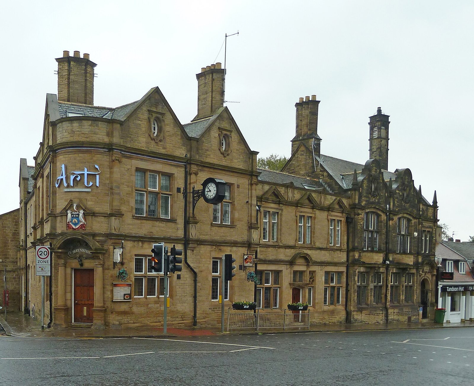
Chapel Allerton today
The ward counted 23,536 people at the 2011 census, and the Sunday Times placed Chapel Allerton among the Best Places to Live in Northern England in 2018. The centre — cafés spilling onto pavements around Stainbeck Corner, independent shops, the late-summer Chapel Allerton Arts Festival — is the old village in modern dress. Its historic core around Town Street and Well Lane is a conservation area of sandstone houses quarried, once upon a time, from Stainbeck Lane itself.
“The Montpellier of Yorkshire”
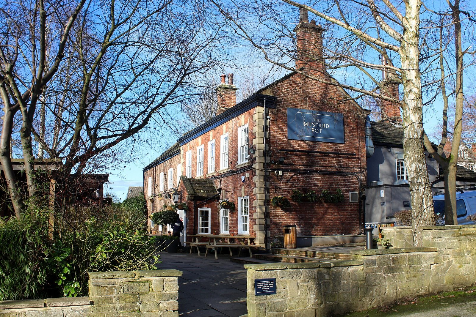
The escape began early. By the end of the 17th century Chapel Allerton was already a resort and second home for wealthy Leeds families, and in 1767 a visitor called it “the Montpellier of Yorkshire” — after the fashionable, healthy French city. Ralph Thoresby had written in 1715 of its “pure Air, upon a pleasant Ascent, which affords a Prospect of the Country ten or twelve miles”, and in 1834 it was praised as “by far the most beautiful and respectable [village] in the Parish of Leeds”. Merchants’ mansions with big gardens followed — among them Allerton Hall, bought in 1755 by Josiah Oates, ancestor of Captain Lawrence Oates, who walked out into an Antarctic blizzard in 1912 on Scott’s Terra Nova expedition, saying he was “just going outside”. (The hall later distributed films across the North for Twentieth Century Fox.) Even the pub is aristocratic: the Mustard Pot occupies Clough House, possibly dating to 1653 — among the oldest inhabited houses in Leeds.
Plague money and the vinegar basin
In the plague year of 1645, with sickness raging around Leeds’s markets, Chapel Allerton’s farmers refused the town and sold their produce instead at Chapeltown Green. Payment was made at arm’s length: buyers dropped their coins into a basin of vinegar built into a wall — disinfection, 17th-century style. The same moor that hosted this careful trade was the village playground and battleground: Chapeltown Moor had a racecourse, archery, cricket, foot-racing and cockfighting, and a gallows — three men were hanged there in 1644, roughly where the 1878 Board School (still a school) now stands. The moor was enclosed between 1803 and 1813.
Trams, and the end of the village
The escape route modernised step by step: a horse-drawn omnibus from 1839, a horse tram in 1874, a steam tram, and in 1901 the electric tram — each one pulling the village closer to the city. In 1900 Chapel Allerton was still a separate village in fields; its civil parish was merged into Leeds in 1904. Elegant stone houses, then the estates of the 1930s (Carr Manor, Scott Hall), filled the fields, and by the 1920s the village had joined the urban area — though, as any resident will tell you, never quite in spirit.
The abbey’s chapel
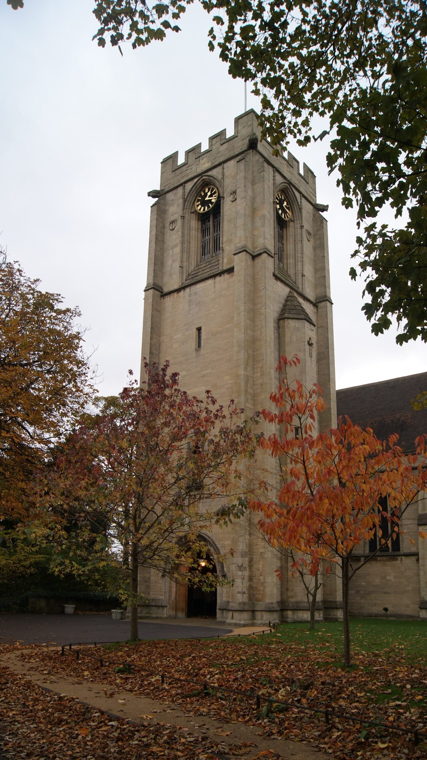
The “Chapel” in the name was Kirkstall Abbey’s. Granted to the abbey in 1152 by Simon de Alreton, the estate kept a chapel of ease — already in 1240 a charter mentions “the road which goes to the Chapel of Allerton”. The chapel was demolished in the 18th century; its site lies between Harrogate Road and Church Lane. After the Dissolution, Elizabeth I sold the lordship to Thomas Killingbeck. For centuries the place answered to two names at once: Chapel Allerton, and its shortened twin Chapeltown (first written in 1427) — a double identity the map of Leeds still carries today.
1086 · Alreton
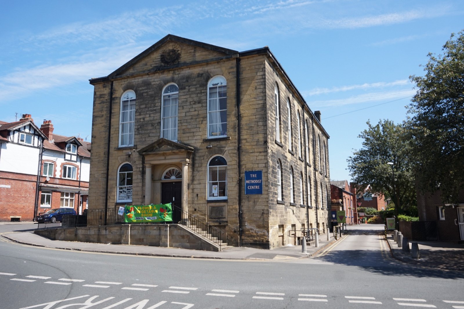
Domesday writes the place simply as Alreton — from alra and tūn, “the alder farm”. Before the Conquest its township sprawled over five square miles, taking in most of what is now Alwoodley, Meanwood, Moortown and Gledhow, with two Roman roads and a Roman altar (found in 1880 in a cottage’s foundations) to its name. The Harrying of the North crushed it: Domesday records its value fallen from forty shillings to two — “it is waste”. The village that rose from that ruin became, in time, the one Leeds escapes to.
Photographs via Wikimedia Commons (CC BY / CC BY-SA). Sources include Ralph Thoresby’s 1715 topography, Leeds City Council’s Chapel Allerton conservation appraisal and the UK census.